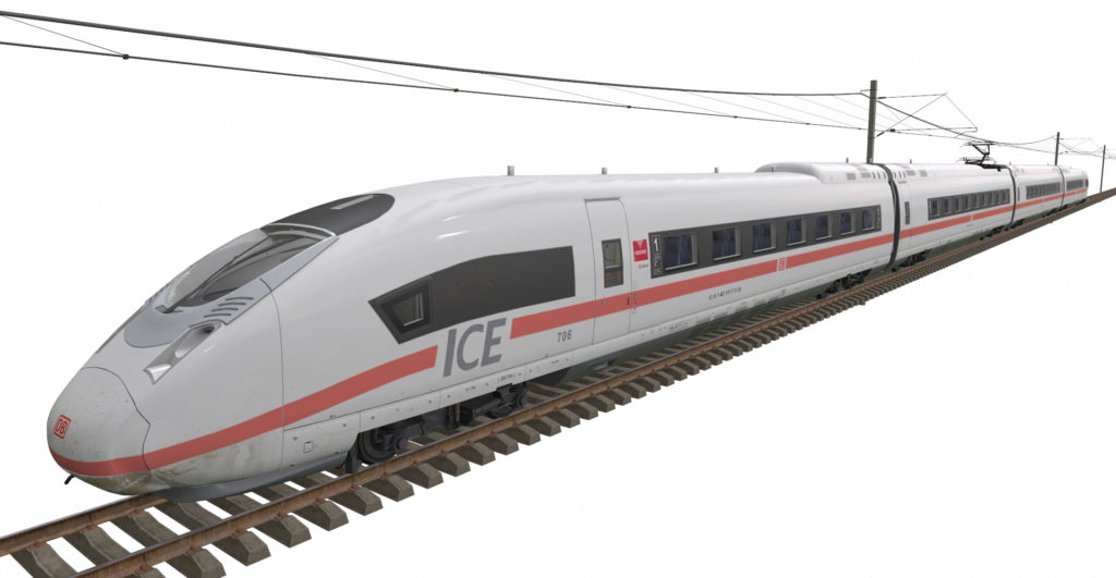
Rail transport is an essential element of the surface transportation system. Both freight and passenger services have been increasing competition with road and air over the past years and going through the modernization of infrastructure, hardware, and software. Authorities all around the world are making efforts to expand the role of railways in transporting goods and passengers.
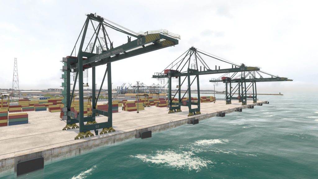
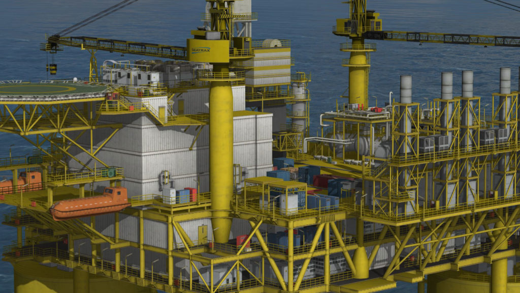
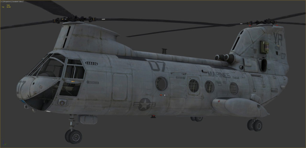
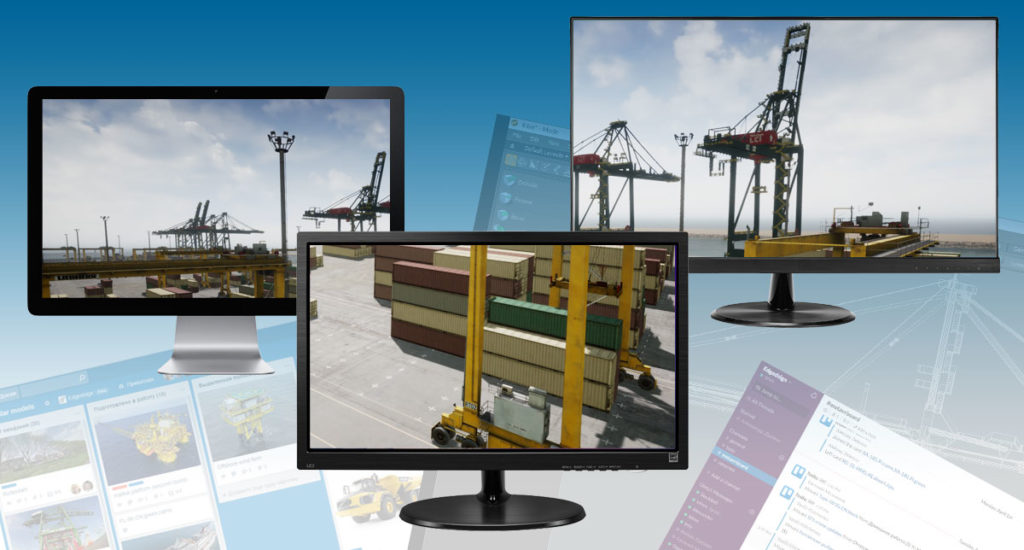
That is reflected in the computer training and simulation systems – they require more and more realistic and complex 3D content. Being a modern technology company, EDGED follows these changes and offers customers its best expertise in making real-time 3D models and terrain databases.
Show more