3D TERRAINS
WHERE YOUR SIMULATION TAKES PLACE
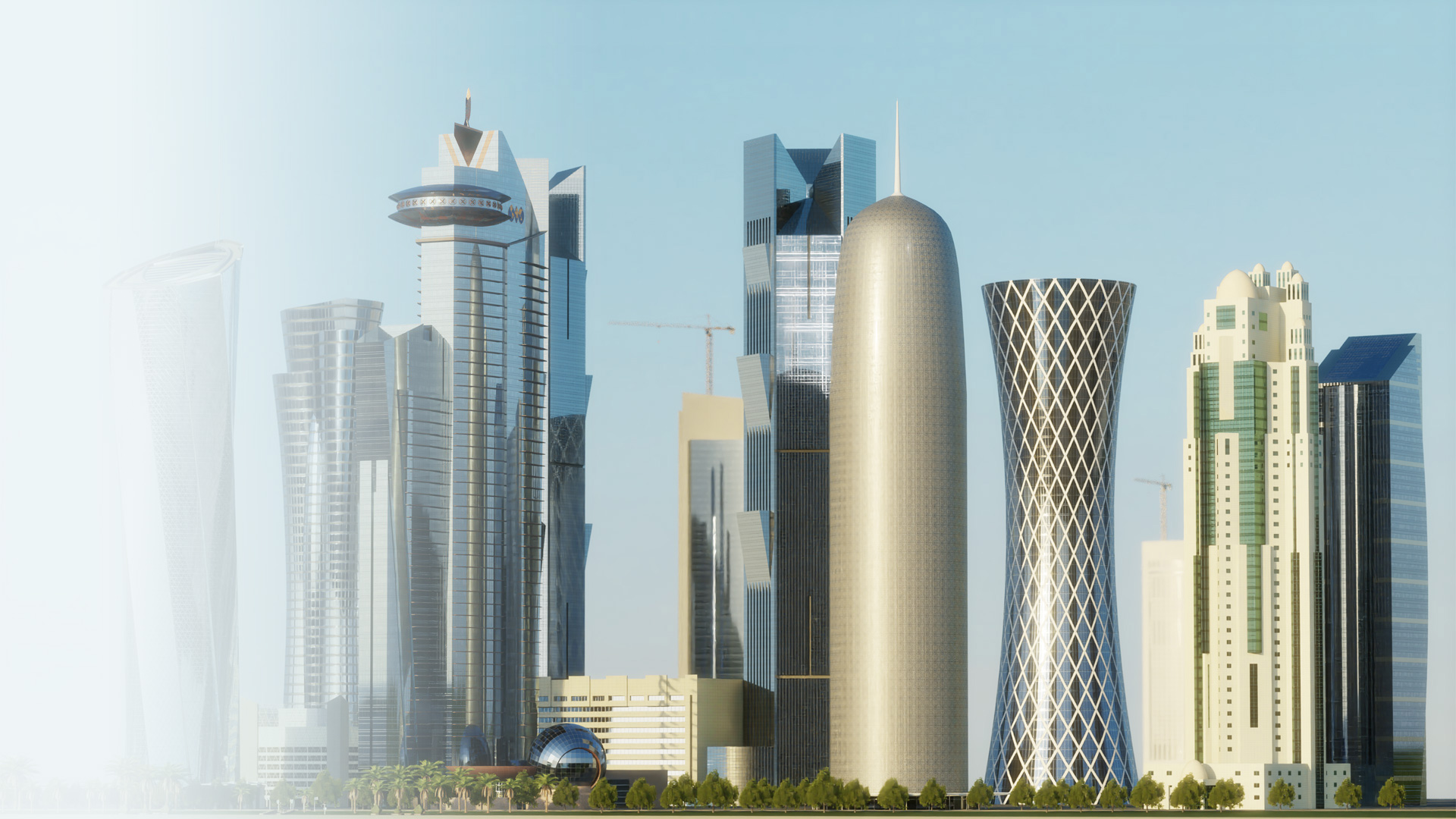
3D TERRAIN MODELS AND VIRTUAL ENVIRONMENTS
A terrain or a terrain database is an essential part of most simulation and training systems. Whatever transportation or industry system you reproduce, the fidelity has a strong correlation with the 3D synthetics environment. The closer it is to the natural world, the more immersion the whole system has. The development of terrain databases has many aspects related to application purposes, graphics and physics engine used, and performance.
Depending on your needs, our experienced team can build any simulation environment:
Geo-specific terrains
are typically used for large-scale synthetic environments in flight simulators. They are based on satellite imagery and DEM data and include landscape, cultural features, and vector footprints. The authenticity of buildings and structures depends on the input source data's availability and precision and varies from accurate hand-made to auto-generated 3D models based on footprints.
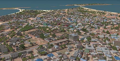
Aerial view of Kismayo (Somalia) geo-specific terrain database.
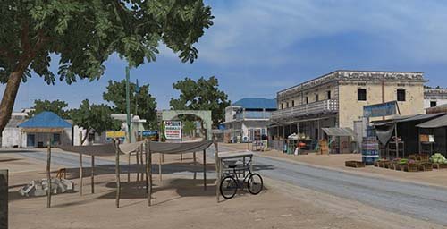
Street view with geotypic vegetation and cultural features.
Geo-typical terrains
are commonly used for ground-level simulations. They can utilize satellite imagery as a reference and be sufficiently geo-representative. Buildings and other cultural features are usually detailed and suitable for first-person visualization. Such databases are actual for driving simulators, ship simulators, military tactical training, mining, and other applications where the location is essential for an end-user. You can see great examples of geotypical container port and LNG terminal databases in our blog articles.
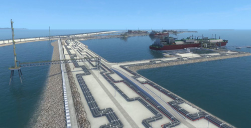
Aerial view of Ras Laffan (Qatar) geo-typical terrain database.
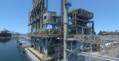
Detailed view with complicated LNG equipment.
3D virtual environments
are usually used as the scene where a particular simulation or game takes place. It can be very detailed if it is crucial for the overall immersion or a simple backdrop.
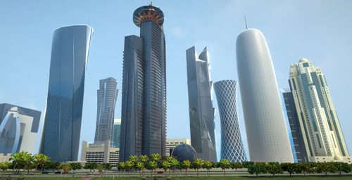
Doha (Qatar) virtual environment.
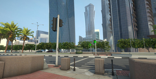
First-person street walkthrough.
We would be happy to discuss your custom 3D virtual environment. And please do not hesitate to ask us about cost-effective off-the-shelf solutions. Read more on how we create terrain databases and 3D models of cultural features in our blog.


