Lome port. A Container Terminal 3D Model
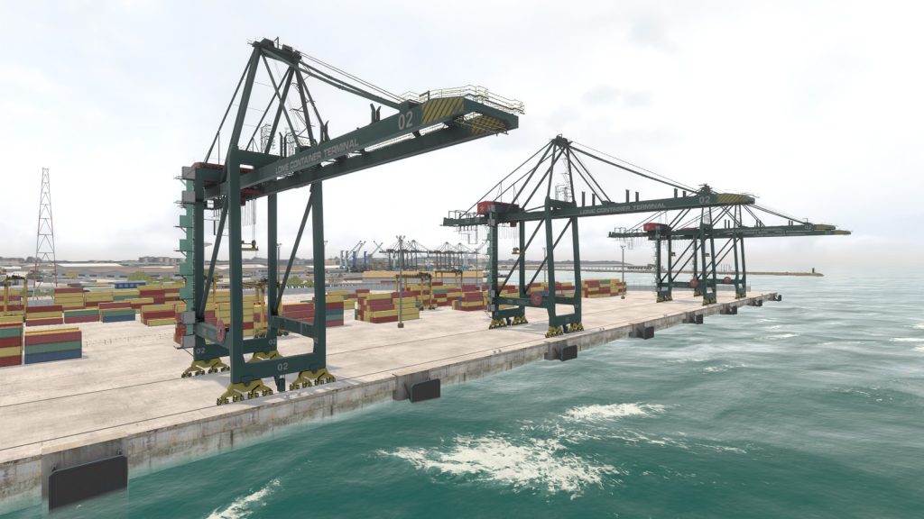
We make several terrain databases a year. But all of them are proprietary to our customers and, of course, we can’t use them for our needs. That’s why we decided to make our own port 3D model, which we could use as a playground for experiments, marketing purposes, and sell it as an off-the-shelf product in the future.
We didn’t want to waste too much 3D modeling resources, so at the first stage, we concentrated on the selection of the right geographical location. Old European or US ports are good candidates to be built, but they look too complicated and are distributed in large areas. We decided to choose a young and compact port and narrowed down the investigation to the African and Asian regions.
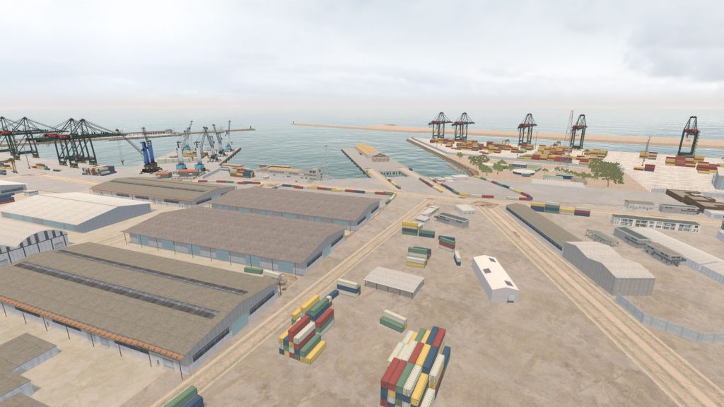
Finally, we chose the Lome port from several candidates, because:
• It is a modern port which plays an essential role in the region and can be used in real simulations by our customers;
• It is compact and it has modern infrastructure (total area is only around 6 square kilometers);
• It is a multipurpose port, and it includes container terminals, general cargo piers, a mineral berth, and a fuel pier;
• The surrounding terrain is quite flat that decreases FOV and simplifies the environment modeling.
On the next step, we collected all possible source materials from the Web – pictures, videos, schemes, and text information. Since Togo is a French-speaking country, we used a multilanguage search in addition to other tricks that we developed while making complex open sources-based 3D models for years.
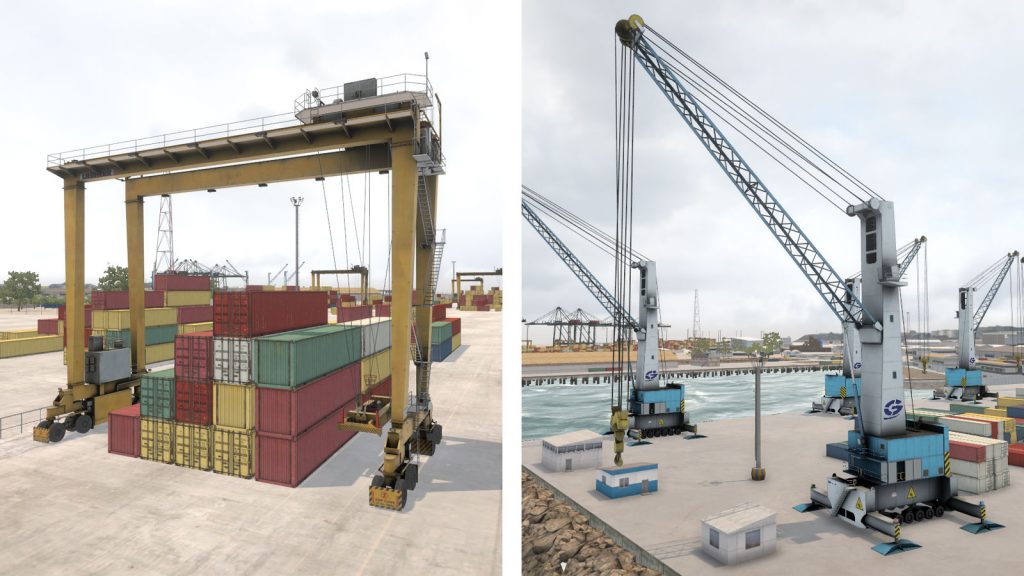
Since we didn’t make a crane simulator but just a navigation area, we didn’t worry about high-resolution 3D models of port handling equipment. But, anyway, the resulting cranes are entirely accurate. I can say that they are one of the most detailed, which I have seen in similar products.
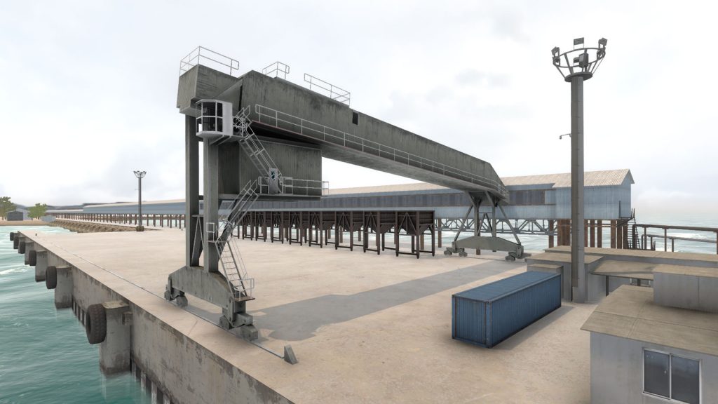
I want to mention a dry bulk conveyor and ship loader 3D models. We did not take many pictures of this equipment and were not able to recognize the manufacturer. But even so, the artists showed wonders of ingenuity creating a realistic asset.
We selected around 50 buildings to make and divided them into the areas of interest. Buildings located close to the ocean are more detailed than buildings on the background. The same rule we applied to all environment 3D models – everything which is in focus from the ship bridge is essential; all the rest is not.
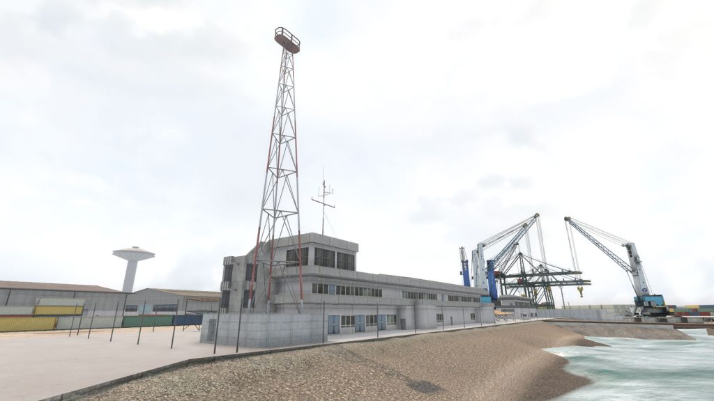
As I have mentioned above, the real terrain is quite uniform, so we didn’t use any terrain tools and just made several flat polygons with different tileable textures. Also, we didn’t use any tricks like multiple UV-layouts, details or occlusion textures to make the asset more universal and suitable for various engines. Geo-typic African trees were adopted from our library.
We didn’t have sources for many areas. And it created a risk for the final authenticity of the port. So we decided to reach maximum fidelity only in several essential locations, which can unmistakably identify the geolocation. The artists were continuously making side by side comparison between the terrain and the photos. We were discussing these matchings inside the team and posted pictures in the social network to get feedback from the disinterested parties.
All objectives were fully achieved within two months, and we got a product that we needed.
Since then, we converted the database to the four different engines for our customers with a predictable result. You can see the Unreal Engine footage in the advertisement video of our 3D ship collection and the Unity3D version on the TurboSquid.

The model is also available on TurboSquid
Also, you can demand any project or engine related updates. Or even order your custom terrain database. Please contact us.


